


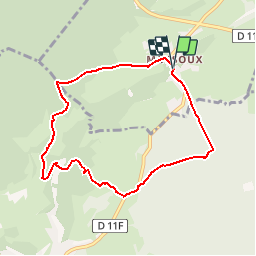

8,3 km | 10,3 km-effort


Benutzer


Kostenlosegpshiking-Anwendung
 SityTrail
IGN / Geografische Institute
SityTrail World
Die Welt öffnet sich für Sie
Tour Wandern von 7,2 km verfügbar auf Großer Osten, Vogesen, La Baffe. Diese Tour wird von mmx007 vorgeschlagen.
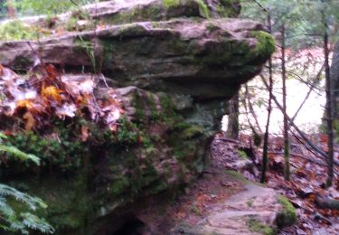
Parcours non balisé sur le terrain.
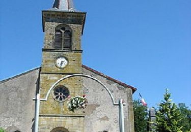
Au départ de Mossoux (arrêt des cars), rue du centre, rue du Bois Mirguet, rue des Farces, source captée, fermes du Bois Formé, Mont le Rupt. A Mont le Rupt, passer entre les bâtiments et les jardins en direction du bois, traverser le ruisseau d'Argent, continuer sur le chemin à gauche le long du ruisseau puis prendre le sentier qui monte à droite (ancien parcours de santé, des équipements sont encore visibles). Quartier de l'Ermitage, la forêt de Tannières et retour sur Mossoux.
Emprunté le 10 août 2015.
Zu Fuß
Zu Fuß
Zu Fuß

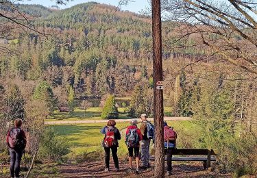
Wandern
Wandern
Wandern
Wandern
Wandern
Wandern